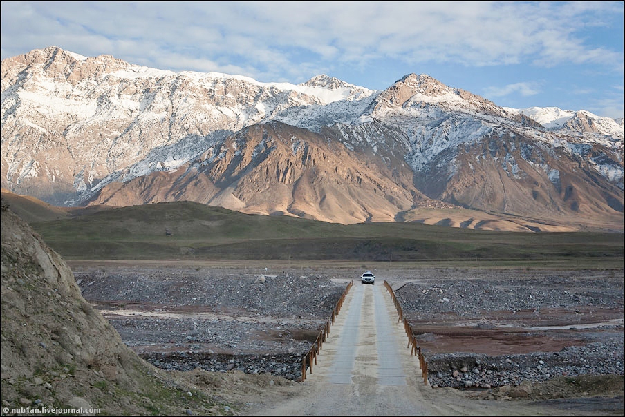
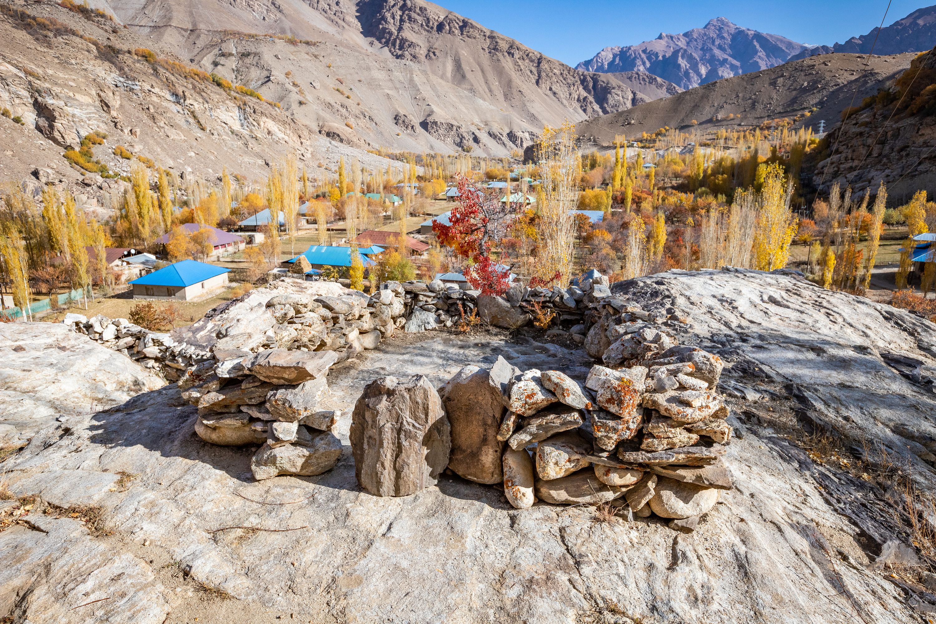
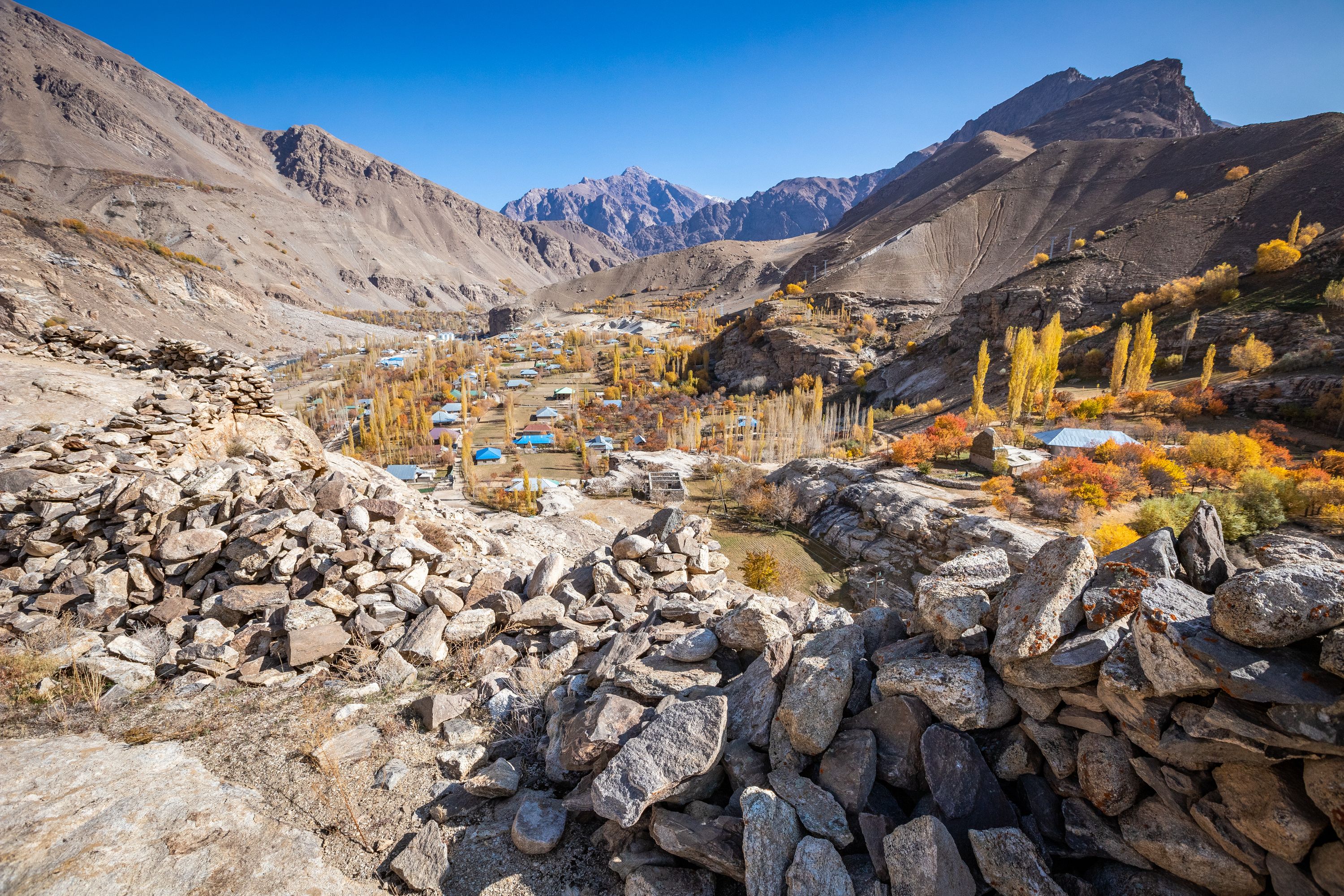
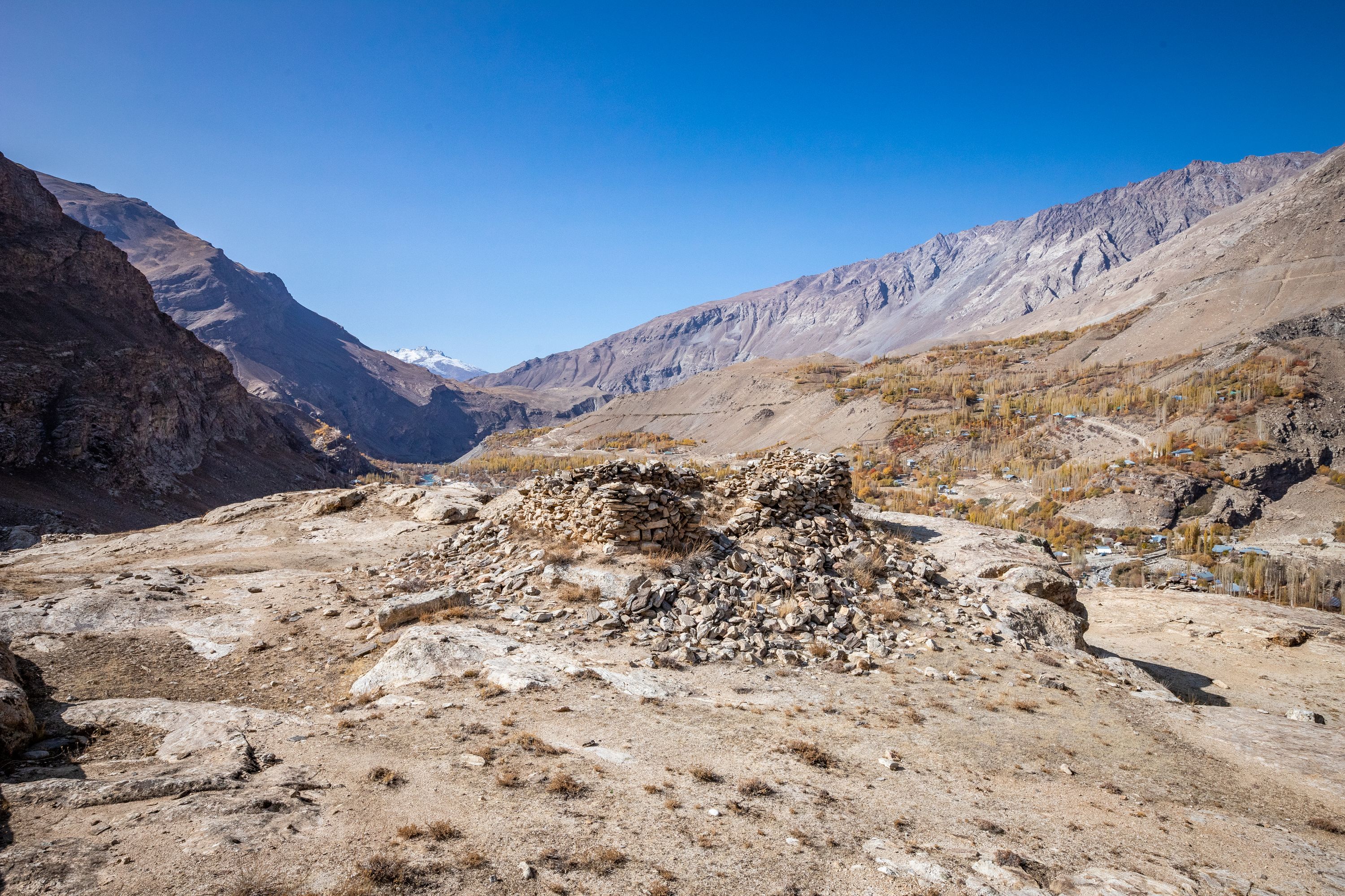
The site of Kofirqal’a and fire temple is located in the village of Boghev, of the jamoati of Suchon in Shughnon district. It is located on the rocky ridge above the village of Boghev on the right shore of the river Boghevdara (left tribute of the River Ghund). Kofirqal’a is an archaeological complex, which consist of four fortresses, three of which are fully excavated. The highest fortress on the top is located at the altitude of 2390 meters above sea level. It is visible from the village of Boghev.
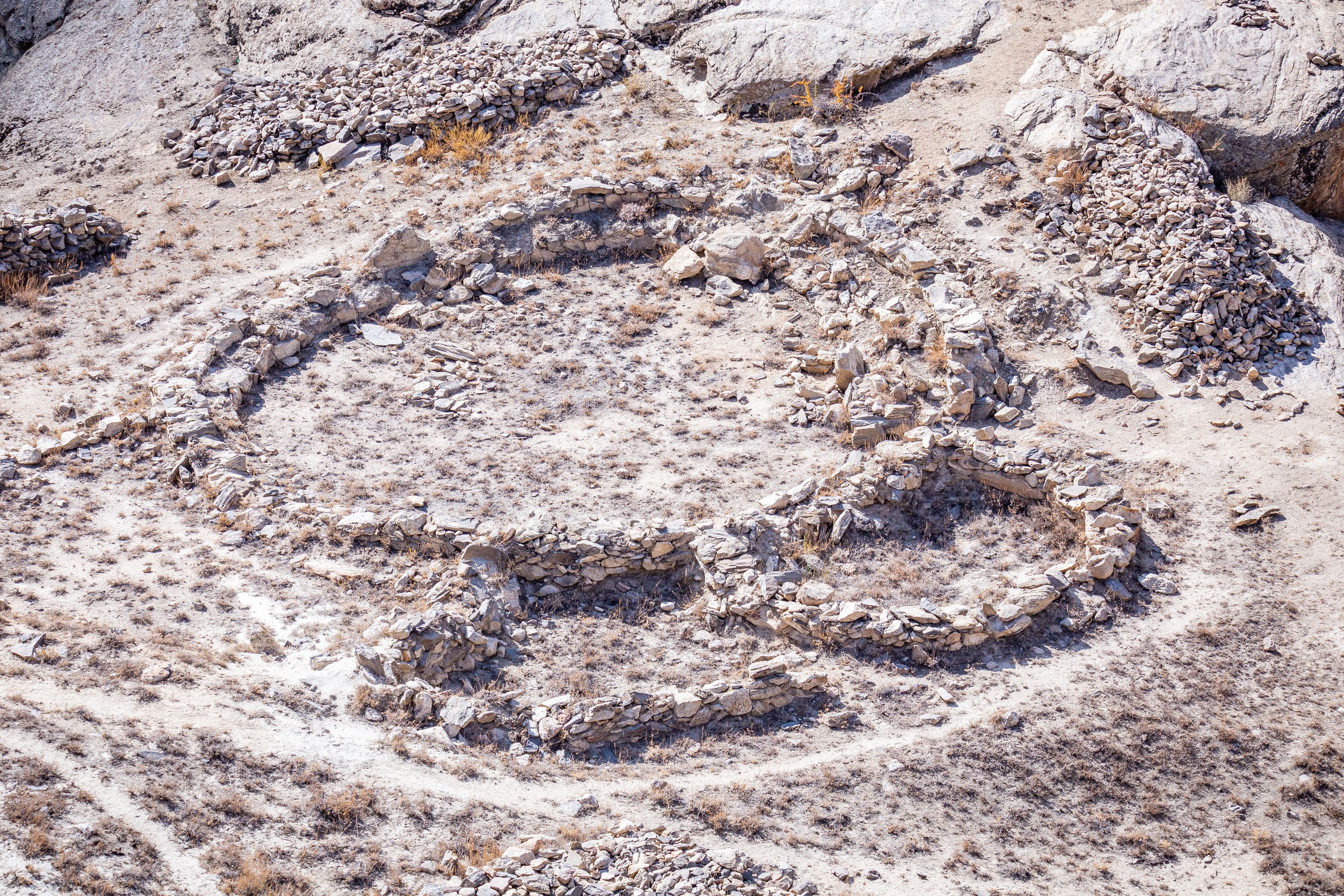
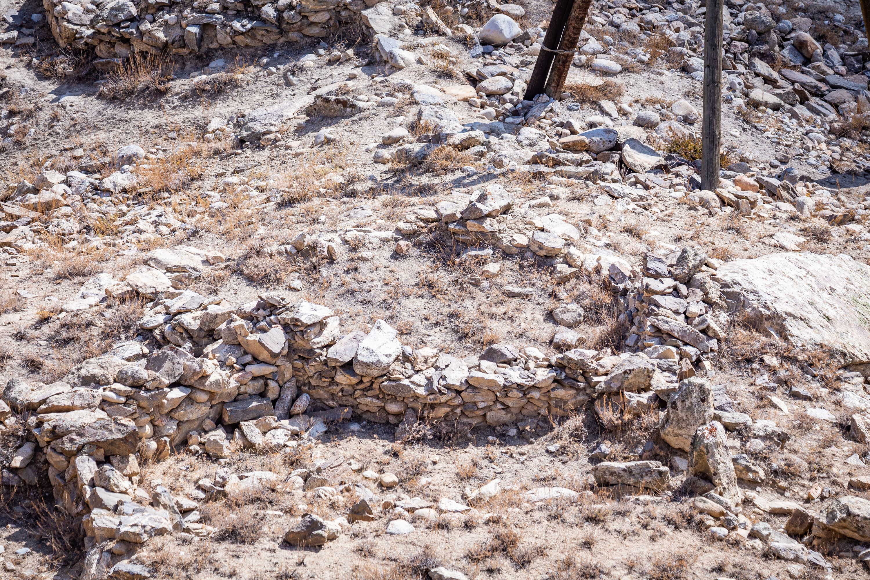
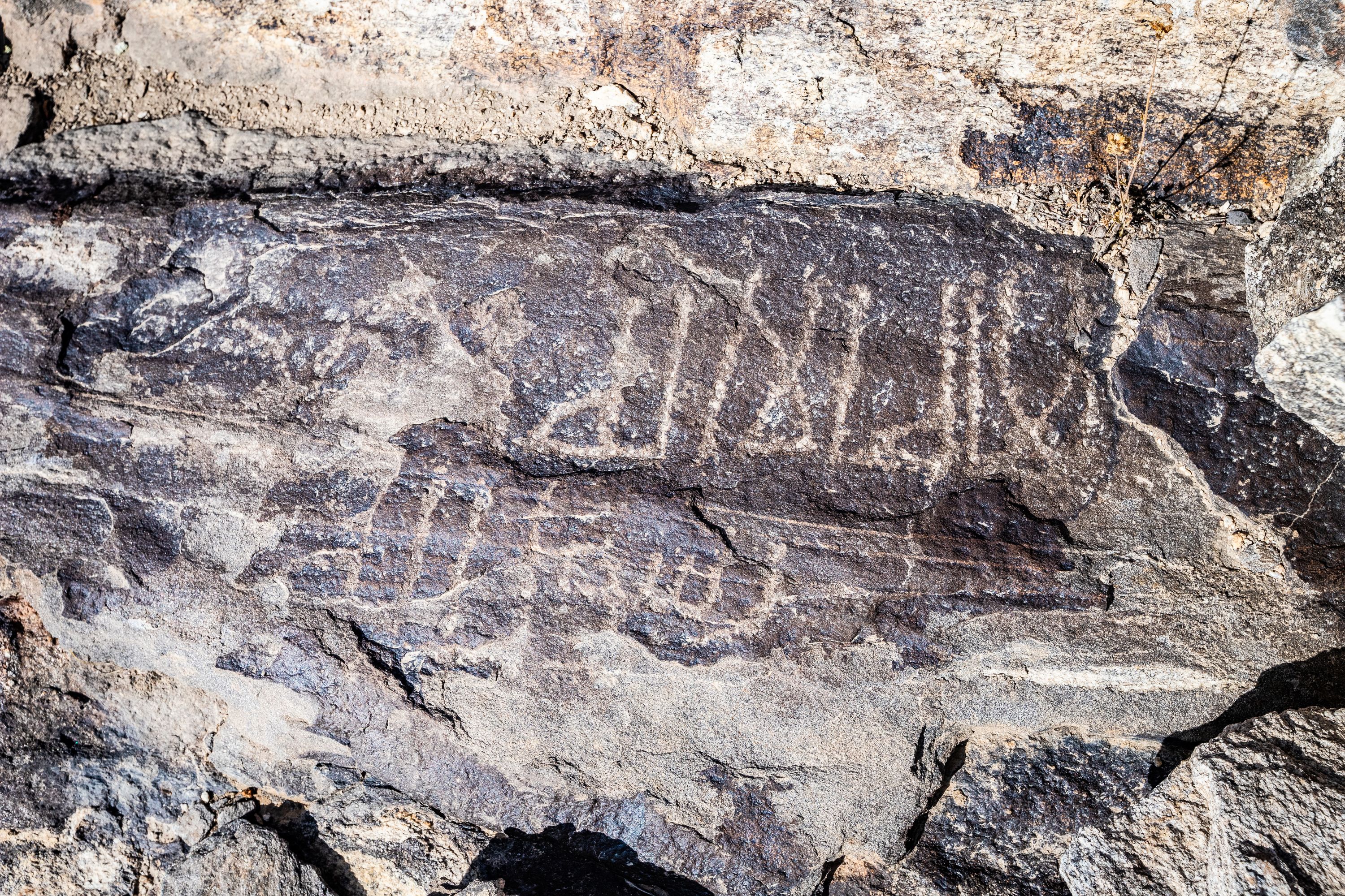
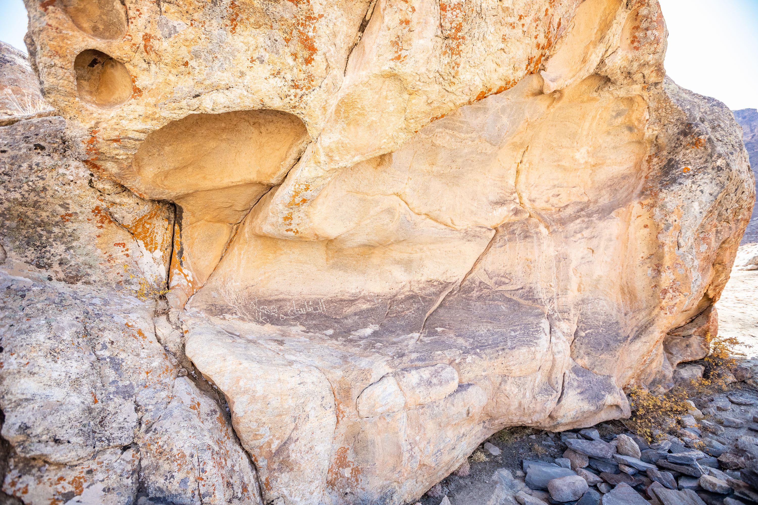
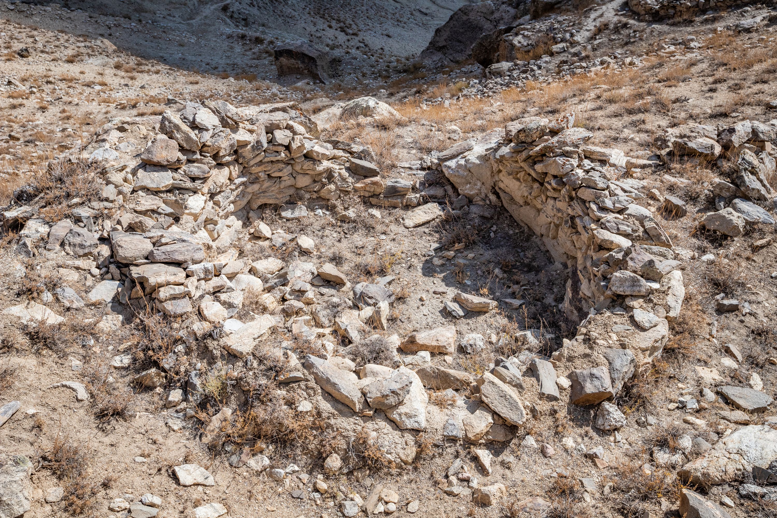
The fortress is located on the flat area. Its walls consisted of a square tower and two round towers. There was an arched watchtower at the end of the wall in the eastern part of the citadel. There was a square room at the centre of the citadel which was used by the ruler. This fortress served as a place for worship. Temples of fire worshipers were built here, the remains of which have survived to this day. These fire temples are located on two small areas, one on the top and another at the bottom. They were built in the shape of a circle. A round fireplace was built in the middle. Unlike other temples in Shughnon, the distinctive feature is that they are built in the shape of a circle. The fire temples were open and did not have a roof. This is one of the distinguishing features of the Pamir temples from the famous Zoroastrian temples. Three types of ceramics were discovered inside the fortress, some of which belong to the Kushan period, the other to the Hephthalite era, and the third to the Middle Ages.
A caravanserai existed near this fortress, which suggest that trade routes from the east Sariqol (China) passed through this area and went to the fortress of Barpanja in Shughnon (wuluswoli) of present Afghanistan. The Kofirqala was in very convenient place that controlled the caravan route. From the top of this place the guards were setting fire, which thick smoke spread to the valley to alarm the inhabitants about threat of the enemy. During irrigation and harvesting, the locals instructed someone to watch the road from the top of the fortress. The population of the valley Suchon was often enslaved and declined. The Muslim army called named this fortress Kofirqal’a because the inhabitants of the valley took refuge in the fortress and refused to become Muslims.
According to the story of the villagers the caliph and Imam Ali rode his horse Dul-dul, captured the fortress, and summoned the population of the place, to engage in honest labor, live faithfully and peacefully. A nearby shrine is maned as Shohi Wiloyat (named after Imam Ali). Some researchers suggest that the word Boghev comes from the ancient Aryan word ‘Baga’, meaning ‘place of worship of God’ or a ‘temple of God. Similarly, the name of Shrine Istanbul is a modified form of ‘Oston-pul’, meaning “bridge of the shrine”.
Gallery
Travelling to the Site
Boghev village can be reached easily from Khorog. Visitors need to stop after passing the school in the village of Boghev. They can turn right and follow the narrow about 1-2 km, to arrive at the foot of the fortress. There is a small footpath leading to the common cemetery of the village. From there they can climb to the hill where the fortress is located. Having climbed the hill, they can explore its ruins, including the temples of fire. The village can be also reached from Murghob by travelling through Pamir Highway. People can travel to this area with private cars or public transport.


